From Manatee Pocket in Stuart, we went to Vero Beach for a few days. It's a great place to recover from a crossing, go to a
real American grocery store for the first time in three months and good stuff like that.


As is the practice at the Vero Beach City Marina, we rafted next to another trawler named Trixsea and had some interesting conversations with Jack who single hands her. His home port in Fort Meyers and he was on his way up to St. Augustine for a trawler rendezvous and was then heading across to the Bahamas for some of the summer. (The Floridians go to the Bahamas in the summer because they are cooler and less humid than Florida.


The Captain walked over to the park one day to see a little powerboat show and the fabulous art museum. He also bought tickets for
I Love You, You're Perfect, Now Change at the great modern theatre there. The show is advertised as the second longest running show in Off-Broadway history and it was a lot of fun. Our seats were in the balcony that they named after us.
From after about 5 days at Vero we went north and anchored off Cocoa where The Skipper dinghied in and bought a bunch of live crabs and cherrystone clams at Ms Apple's Crab Shack. Then we went on to Titusville, where we hoped to see the scheduled shuttle launch.

The morning before the launch started with a beautiful Easter morning sunrise complete with a couple of sunrise services at the nearby park. The sun rose very close to the launch pad for the missile.


At 6:23 the next morning, the launch went off as scheduled and it was pretty exciting to see our first one! It took a while for us to hear and feel the sound and the shock wave, but they were pretty powerful when they came. It was even more spectacular a couple of minutes later when the sun started to light up the vapor trail. There are times when air pollution is quite lovely!
Meanwhile -- a lot had been going on!
GROUNDHOG DAY (A True "Saga"?)
This is a reference to the movie of that name, not to the actual date. We got to see the ICW between Cocoa and Ponce de Leon Inlet a number of times on this trip because of a major screw up by yours truly. The Captain decided to tow the dinghy for the shortish trip to Titusville instead of putting in up in the expensive davit system. Three hours later as we approached Titusville, we looked back to find NO DINGHY! We did a 180 and headed back to look for it while broadcasting lost dinghy reports on the VHF radio. We were unable to get close to the lee shore (where the dinghy would have drifted) because it is very shoal on that side of the ICW. Of course, the dinghy is grey with a black engine so it is hard to see anyway. After getting almost all the way back to Cocoa, we gave up and headed back to the anchorage in Titusville. We reported the loss to anyone who would listen: Cocoa police would not even take a report over the phone; Titusville police were very nice and even gave us an "incident number", and a very nice Browart's County Sheriff Office deputy called us back and was VERY helpful and said he would put out a search.
We finally gave up and headed back north after the shuttle launch because we figured that someone had the dinghy in their back yard and was altering it so that it could not be identified. Our plan was to go St. Augustine and see what we could find at the Sailors' Exchange there to get us home again where we would have to sort out insurance and stuff before we got a real replacement.
BUT, late on the afternoon the next day, the deputy called with the news that the dinghy had been recovered and secured to a dock near Cocoa!!! WOW!! The next day we returned to Titusville and took a slip at the marina for the night, Deputy Webster picked me up and delivered me about 15 miles down the road to the dinghy, I ran the dinghy back to Titusville and immediately attached it to the davit system. And the cruise went on with a MUCH relieved (and VERY lucky) Captain and Admiral!
Now, back to our story..............

 So, we went back to Rockhouse Creek near the Ponce de Leon Inlet and lighthouse to rejoin our friends on Bravo.
 There was a guy camping out on one of the islands. We took a dinghy ride in to take a closer look at the lighthouse which claims to be the tallest in Florida and the second tallest in the U.S. I decided that I would not show off by climbing to the top.
[Editors Note: Florida politics are interesting to watch if you are not an integral part of them. This lighthouse was made obsolete when they built a major Coast Guard station between it and the inlet with a very expensive state-of-the-art beacon to guide boats into the inlet. A very few years later, a developer apparently made the correct political "contributions" and was allowed to built a major condominium complex directly in front of the beacon, making it necessary to recommission the magnificent lighthouse!]


The next day took us to a night at anchor off St. Augustine. The "Bridge of Lions" is finally totally "restored" (i.e.: completely rebuilt) after five (?) years and they are still taking down the huge temporary lift bridge they have been using in the interim. Summertime from one of our home yacht clubs went through the bridge just ahead of us. We met a man who is doing the Great Loop on a pontoon boat.

We walked around the old town for a couple of hours and had Guinesses and dinner at an Irish Pub/Seafood restaurant.


Another day up the ICW took us to the Fort George River where we anchored off the Kingsley Plantation and dinghied in to tour it.
The original plantation house and the ruins of the slave quarters are now part of a National Park.


Mr. Kingsley, a slave owner, was married to an African princess (who owned some slaves in her own name) and had a number of children with her. This was fine until Spain turned Florida over to the U.S. and intermarriage became illegal. Kingsley had to move his family to a Caribbean Island where they flourished and, eventually, came back to the U.S.

People either love or hate the ICW through Georgia. I rather like it. It is unique as it is largely natural with fewer man-made sections than most of the rest of the ICW. The Georgia coast has a lot of flat marshes reaching for miles to the ocean as well as many large and small islands and sounds. The result is a waterway that stretches the straight-line distance of about 100 miles to about 138 as it follows the winding and twisting creeks and rivers and goes across a number of rather large sounds. You will often see another boat a couple of hundred yards across a marsh from you seemingly headed in the opposite direction. In reality, he is going the same way you are and you will get to the same spot in another hour or so as you follow the creek in its meanders through the marshes and islands.


The first stop in Georgia is Cumberland Island which we had missed on the way south because of a reluctant dinghy engine. The main "avenue" through the island is through an arch of live oak trees leading to the ruins of Dungeness, a winter "cottage" owned by one of the Carnegies.


Armadillos have been introduced to Cumberland fairly recently, but they feral horses have been there since the island was the playground of the rich and famous. The dunes are constantly moving and shifting.


Along the way across to the ocean side of the island, Bill and Claudia from our home yacht club caught up with me. They had brought their sailboat, Illusion, down from Brunswick where they have kept it in a slip year around for a few years.

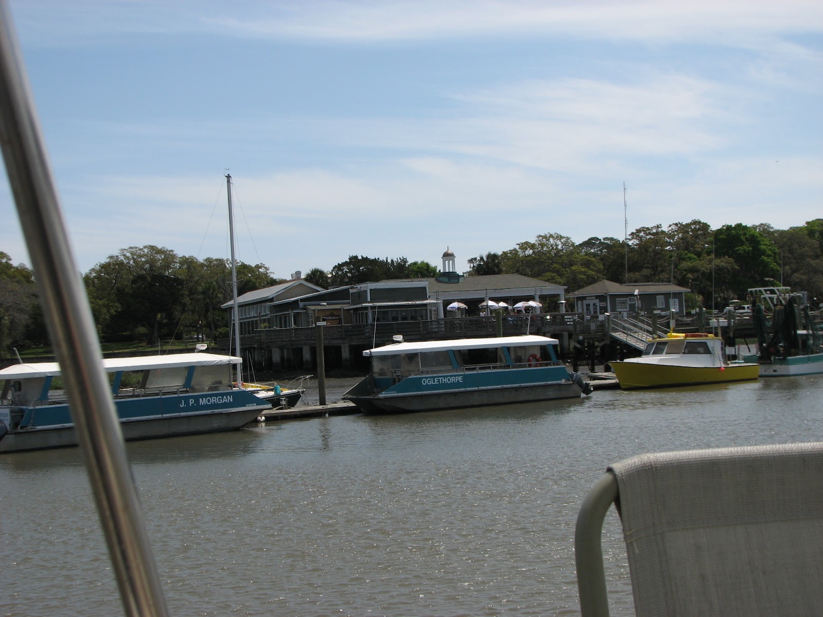
Because of threatening weather, we chose to hide in the Frederica River the next night and anchored right off the fort. Unfortunately, it was low tide and the unfinished dinghy dock is still a long way from the water and surrounded by very deep mud, so we could not get ashore for the grand tour of the fascinating grounds of ruins of this town created by Oglethorpe.
The forecast changed overnight and we ventured forth, often accompanied by friends who had been with us for months, but are so camera shy that we have dozens of photos of where the dolphins were and very few of dolphins.


We went by more of the islands that were used by the rich and famous as winter retreats and playgrounds. Some, like Cumberland and Jekyll Islands (photo on left) were simply abandoned. Others, like St. Simons (right photo) and Hilton Head are still very active.
We anchored in Kilkenny Creek for a night and then went on to a slip at Isle of Hope Marina, largely because they have a courtesy car. We went to Radio Shack, West Marine, a Super-Walmart and other neat places. We also got to do a laundry; wash the boat down; do what is, hopefully, the final repair on a small air leak in the dinghy; and accomplish an oil and filter change without covering outselves and the boat with dirty engine oil.
If all goes well, the next stop will be the anchorage off Ladies Island near Beaufort, South Carolina.

 Many sections of the ICW, both natural bodies of water and man-made canals, must be dredged to keep them at the proper depths. These also vary from as little as 5 or 6 feet at low tide to much greater depths which are necessary in channels which are also designed for the transit of large ships.There are dredges of all sizes and shapes.
 The ocean inlets in which large tidal currents move the sand around a lot are a particular problem.
 As we continued north, we anchored in another shallow creek in Southport, NC before going up the Cape Fear River in surprisingly calm seas. We looked back at the lighthouse marking the mouth of the river.
 Much of the Carolinas along the ICW is used for training by the Marine Corps. We went past Parris Island, their major training facility, near Beaufort, SC. Just north of Topsail Beach, NC Camp Lejeune has many acres on both sides of the waterway on which they run mock battles and landings . We have been stopped a couple of times while they have live-fire exercises across the ICW. This time, we went straight through to anchor in Mile Hammock Anchorage right in the middle of the facility (no landing is allowed anywhere!). We caught up with Mel and Jean aboard our sister ship Dovekie and spent some time with them swapping stories.
 We looked back at the anchorage with its old rusty landing craft as we left in a fairly heavy fog the next morning. Luckily it burned off before we got to the first bridge. We spent the next night in the large mouth of Cedar Creek and had Mel and Jean aboard for another gam and dinner.


